The woodpecker who performed for us last year is back. He has taken to pecking a tattoo on the spherical cupola atop the conical roof on Bidston Lighthouse.
We wish him every success in attracting a mate.
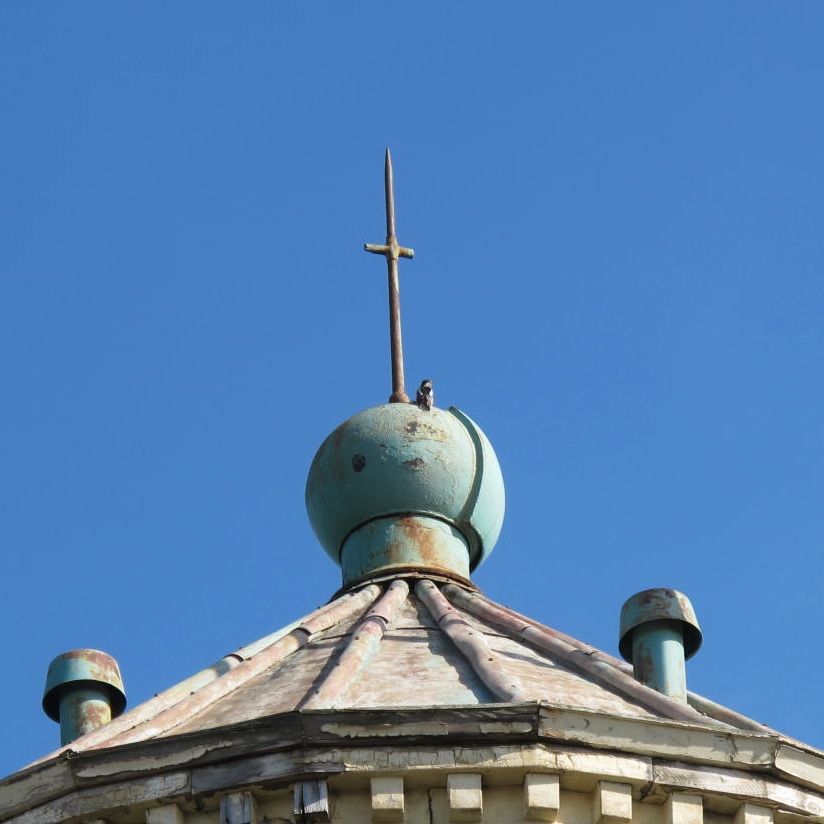
Woodpecker on Bidston Lighthouse, 8 Apr 2015
The woodpecker who performed for us last year is back. He has taken to pecking a tattoo on the spherical cupola atop the conical roof on Bidston Lighthouse.
We wish him every success in attracting a mate.
Woodpecker on Bidston Lighthouse, 8 Apr 2015
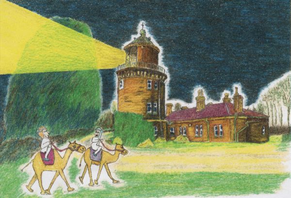
You said “Follow the light”!
Drawing © Vilja Gatrell, 2011.
In the nineteenth century, a fellow called Samuel Birley Rowbotham promoted a flat earth system which he called Zetetic Astronomy. Writing under the pseudonym “Parallax”, Rowbotham published Zetetic Astronomy: Earth Not a Globe in 1865. He drew on, amongst other things, information published in Lighthouses of the World by Alexander G. Findlay (1861-2) to support his thesis that the earth was flat. Bidston Lighthouse was one of his chief examples:
By the same authority, at page 39, the Bidston Hill Lighthouse, near Liverpool, is 228 feet above high water, one bright fixed light, visible 23 nautical or very nearly 27 statute miles. Deducting 4 miles for the height of the observer, squaring the remaining 23 miles and multiplying that product by 8 inches we have a downward curvature of 352 feet; from this deduct the altitude of the light, 228 feet, and there remains 124 feet as the distance which the light should be below the horizon!
Over a hundred years later, Robert J. Schadewald picked up the story in his 1992 article Looking for Lighthouses. Schadewald, like the Reverend M. R. Bresher before him, vigorously refuted Rowbotham’s arguments, but could not explain the anomalies in Lighthouses of the World. Schadewald concluded:
And what about Rowbotham’s anomalous lighthouses? Beats me. Perhaps the reported observations were made under unusual conditions. Perhaps, for those lighthouses still operating, new observations would not confirm the reported anomalies. By now, however, some of Rowbotham’s lighthouses presumably have been closed, torn down, or destroyed by the elements. For these, we will never know. One thing is certain; those who seek only anomalous lighthouses will never find light.
My inner geek can’t leave it at that. You can bear with me as I try to make sense of it, or you can read this instead.
I should disclose at this point that I do not, and never have, subscribed to any Flat Earth theory.
Let’s start with Findlay’s Lighthouses of the World. The entry for Bidston is on page 39.
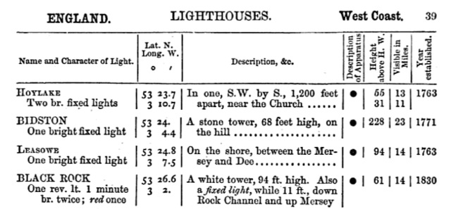
Figure 1. Extract from “Lighthouses of the World”, Alexander G. Findlay, 1861.
Findlay explains the meaning of each column on page 32. Bidston is written in block capitals because it is a principal light. The black circle in column 4 denotes a catoptric reflector. To avoid any ambiguity, I quote Findlay’s explanations of columns 5 and 6 verbatim:
Height above high water (5th column). This gives the height of the flame above the highest tide level, consequently it is its minimum height, and is increased by the tidal range of the place. The height of the lighthouse itself, from base to summit, is given sometimes in the third column.
Visible in miles – sixth column. This gives the minimum distance to which the light can be seen, in clear weather, from a height of 10 feet above the sea level. But in the case of the principal lights this but imperfectly represents their range, as they could be seen at any distance attainable by increased elevation. In the use of coloured lights this range is given according to their presumed power.
The range is given in nautical miles. 23 nautical miles is 26.5 international miles or 42.6 kilometres, near enough.
The elevation is the height of the flame, and is given as 228 feet above high water. This is difficult to check, as the original Bidston Lighthouse was replaced in 1873. The new lighthouse was built a few yards or so to the north of the original, and there was extensive work on the foundations. So the elevations at the bases of the 1771 and 1873 towers could have differed by a metre or two. And while some contemporary descriptions give a height for the tower (e.g. 55 ft according to Burdett’s Chart of 1771 [Rees 1949]), it is not clear whether these include the weather vane, chimney or flagpole erected atop the tower.
As Bidston Lighthouse is some two miles from the sea, the location of the high water mark to which the elevation is referenced is not immediately obvious. There are two reasonable choices. One is at the north coast of the Wirral peninsula, somewhere along Mockbeggar Wharf. The other, more likely, is Liverpool docks. Bidston Lighthouse was visible from both. There are good reasons to assume that the elevation was referenced to Liverpool docks. Ever since William Hutchinson started his tidal measurements in 1764, the tides at Liverpool were the most carefully observed in the British empire. It is no accident that Liverpool was the national reference point for elevation (Ordnance Datum). The original Liverpool levelling was started in 1840 using a bench mark on St John’s Church. In 1844 the datum was changed to the tidal pole in Victoria Dock. It was not until 1921 that the Ordnance Datum was changed to Newlyn, Cornwall. Given all this, it is reasonable to assume that the elevation of the Bidston light was known as precisely as any other in the country.
We can at least check whether Findlay’s reported 228 feet is plausible. We know that the elevation (relative to mean sea level Newlyn) of the base of the present Lighthouse is 59 metres (193 feet). The correction from Ordnance Datum Newlyn to Ordnance Datum Liverpool is negligible (only 0.1 feet at Ordnance Survey grid reference SJ 2889).
Let us take Findlay’s 68 feet for the height of the tower at face value. Doing the sums, we find the elevation of summit of the tower was 260.5 feet (79.4 metres), relative to mean sea level.
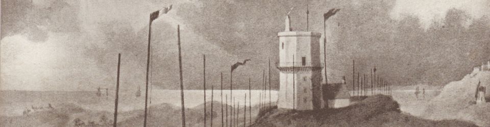
But Findlay gave his elevations relative to high water, not mean sea level. Now, the tidal range at Liverpool is the second highest in the country, nearly 10 metres at spring tides. (At neap tides, the range is about 4 metres). To convert to elevation above high water, we need to subtract about 5 metres, being half the maximum tidal range. So, the top of the tower was about 244 feet (75.4 metres) above high water, some 16 feet above the 228 feet that Findlay reports for the elevation of the flame. You can judge for yourself whether the following contemporary illustrations are consistent with the summit of the tower being 16 feet above the centre of the lamp room.
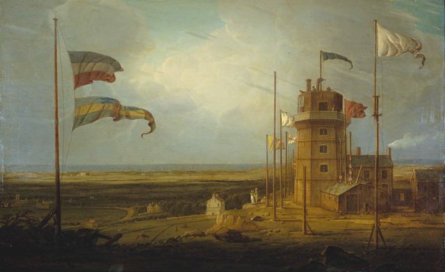
Figure 2. Bidston Lighthouse by Robert Salmon, Oil on Canvas, 1825. Courtesy of National Museums Liverpool.
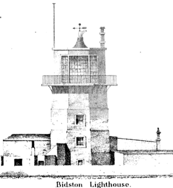
Figure 3. Bidston Lighthouse, from “Sailing Directions from Point Lynas to Liverpool”, 1840.
Are there any other contemporary descriptions of Bidston Lighthouse?
Graham Hill’s “Navigation of the Irish Sea” (1851) agrees with Findlay in terms of both elevation, and range.
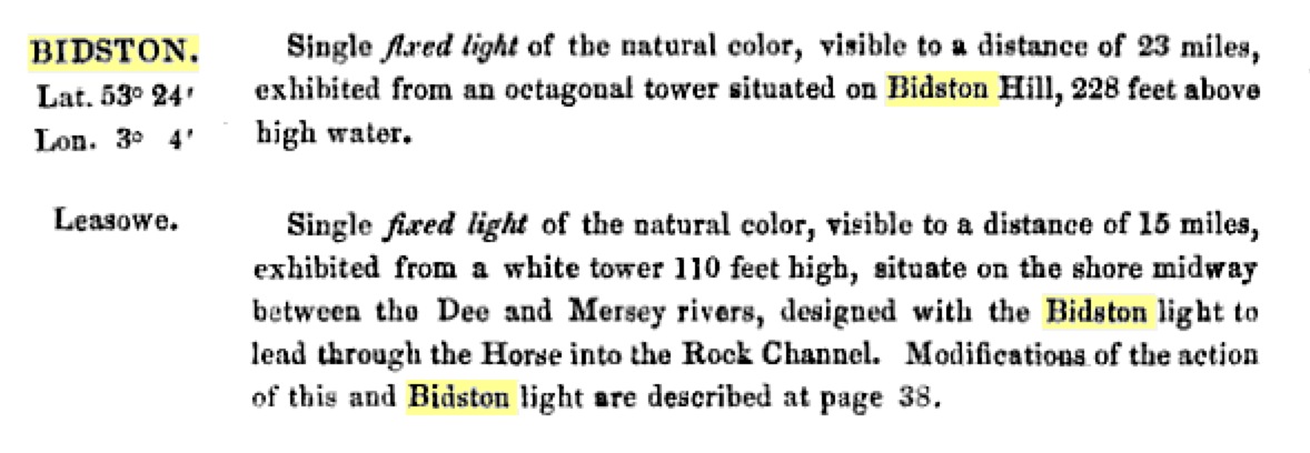
Figure 4. Extract from “The Navigation of the Irish Sea”, Graham H. Hills, 1851.
However, Henry Mangles Denham F.R.S., who personally surveyed Liverpool Bay, gives a different account in his “Sailing Directions from Point Lynas to Liverpool”, 1840.
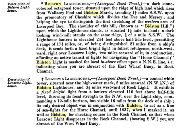
Figure 5. Extract from “Sailing Directions from Point Lynas to Liverpool”, Henry Mangles Denham, 1840.
Denham’s quoted elevation of 244 feet is referenced to half-tide level. Subtracting 5 metres to make it relative to high water, we get 227.6 feet.
So all three contemporary sources (Findlay, Hills and Denham) agree on the elevation of the lamp to within a foot, i.e. 228 feet above high water. As I’m in no position to argue, I shall adopt this figure henceforth.
Knowing the elevation of the lamp, it should be just a simple matter of geometry to work out at what distance the light will disappear below the horizon for a ship-board observer. There are some complications of course: sea levels rise and fall and the tides around Liverpool are unusually high; the earth is better described as an oblate spheroid than a sphere; and the path of light near the earth’s surface bends because of atmospheric refraction. Refraction is the most difficult to deal with, because the magnitude of the effect depends on prevailing weather conditions, notably the amount of moisture in the air and how this varies along the path from the light to the observer. For more information, see Andrew T. Young’s comprehensive article “Distance to the Horizon“.
In the following chart, I have plotted the range of a light (in nautical miles) as a function of its elevation (in feet). The red curve shows the range to the horizon, ignoring atmospheric refraction. The green curve shows the range of the light for a shipboard observer 10 ft above the water line, again ignoring atmospheric refraction. The blue curve is the same as the red curve, but corrected for atmospheric refraction; I have used the “standard” correction of 8%, although in reality the effect can be significantly more or less, depending on prevailing conditions. The purple curve is the same as the green curve, with the same 8% correction for atmospheric refraction. I have drawn vertical lines at 10 ft (the standard elevation of a shipboard observer as adopted by Findlay), 228 ft (the elevation of the Bidston Light relative to high water), and 260 feet (the elevation of the Bidston Light relative to low water).
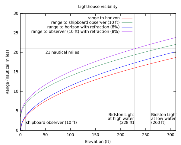
Figure 6. Theoretical lighthouse visibility as a function of the elevation of the light. (1) Distance to horizon from the light (red). (2) Range of light for a shipboard observer at 10 ft above the water line (green). (3) As (1), with “standard” 8% correction for atmospheric refraction (blue). (4) as (2), corrected for atmospheric refraction (purple).
Thus the theoretical visibility of the Bidston Light for a shipboard observer at 10 ft above the waterline at high water matches Denham’s reported range of 21 nautical miles exactly, provided that we make an 8% allowance for atmospheric refraction.
I venture to say that Findlay’s quoted range of 23 nautical miles was actually wrong, at least by his own criteria.
But when you think about it, the conditions required to measure Findlay’s ranges would not have been that easy to arrange. At the moment when the light first came into view, the observer had to be 10 feet above the waterline, at high water, in clear weather, and have an independent measure of the distance to the light. Other factors made matters even more difficult. A ship’s waterline depends on how heavily laden it is. Waves could increase the effective height of the observer. And because it takes a certain amount of time for the tide to come in (the difference in time between high tides at Holyhead and Liverpool is about 40 minutes), the mutual horizon of the observer and the light (i.e. the point where a light ray from the lamp to the observer grazes the sea) would sometimes be slightly lower than the observer’s waterline.
The range is much more sensitive to the elevation of the observer than to the elevation of the light itself. Adding seven feet to the elevation of the observer increases the range by more than one nautical mile.
On the other hand, adding seven feet to the elevation of the light increases the range by just under a quarter of a nautical mile. This places a limit on the correction one could make for the sheer size of Bidston’s reflector. The original reflector of 1771 was 12 feet in diameter (according to William Hutchinson, or 13-and-a-half feet according to Robert Stevenson) so the top of the reflector would have been above the horizon when the centre was still below it. We do know that by 1835, Bidston’s single reflector had been replaced by eleven smaller ones, but we don’t know their configuration.
Given all this, and taking variations into atmospheric refraction into account, the Bidston Light might well have been seen at 23 nautical miles, or even farther, under extreme conditions such as looming. And given the pride that Liverpool had in its principal light, for Liverpool to report anything less to Findlay would have been unthinkable.
The range of 23 nautical miles that Alexander G. Findlay quoted for the Bidston light in his Lighthouses of the World was not correct. By Findlay’s own guidelines, it should have been the minimum range in clear weather for a shipboard observer, 10 feet above the waterline, at high water.
Henry Mangles Denham got it right when he reported a range of 21 nautical miles in his Sailing Directions from Point Lynas to Liverpool.
However, the Bidston light would sometimes have been visible at Findlay’s quoted range, or even further, and it is easy to forgive Alexander George Findlay.
But one thing is certain: the data in Lighthouses of the World was not fit for Samual Birley Rowbotham’s purpose. He abused it terribly. This is harder to forgive.
Rowbotham went on to revise and expand his “Zetetic Astronomy: Earth Not a Globe”. The text of the 1881 edition is available on-line. In the 1881 edition, there is only one mention of Bidston Lighthouse, on page 27. He writes:
From the lighthouse on Bidstone Hill, near Liverpool, the whole length of the Isle of Man, on a clear day and with a good telescope, is distinctly visible, and presents the same horizontal base line as that observed in the Isle of Wight.
Now, I have stood in the lamp room of the present Bidston Lighthouse (which was built in 1873, eight years before the 1881 edition of Zetetic Astronomy) many a time, and I have yet to see the Isle of Man. Even the peak of Snaefell is beneath the horizon under normal conditions.
Perhaps Rowbotham’s sightings of the Isle of Man occurred atop the original lighthouse? Although the elevation of the Bidston Light was little changed when the present lighthouse was built, the original lighthouse did have the advantage of a viewing gallery above the lamp room, if Salmon’s painting is to be trusted (see Figure 1). This should not have been enough to bring the entirety of the Isle of Man into view, but perhaps sightings of Snaefell from the original Bidston Lighthouse were less exceptional than today.
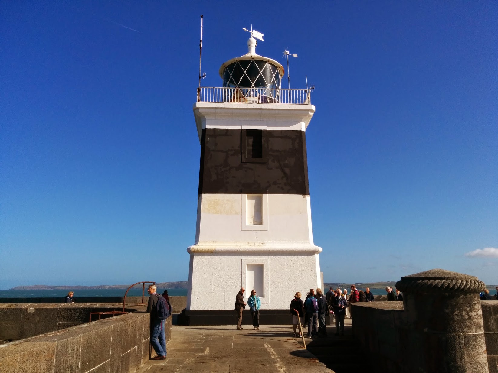
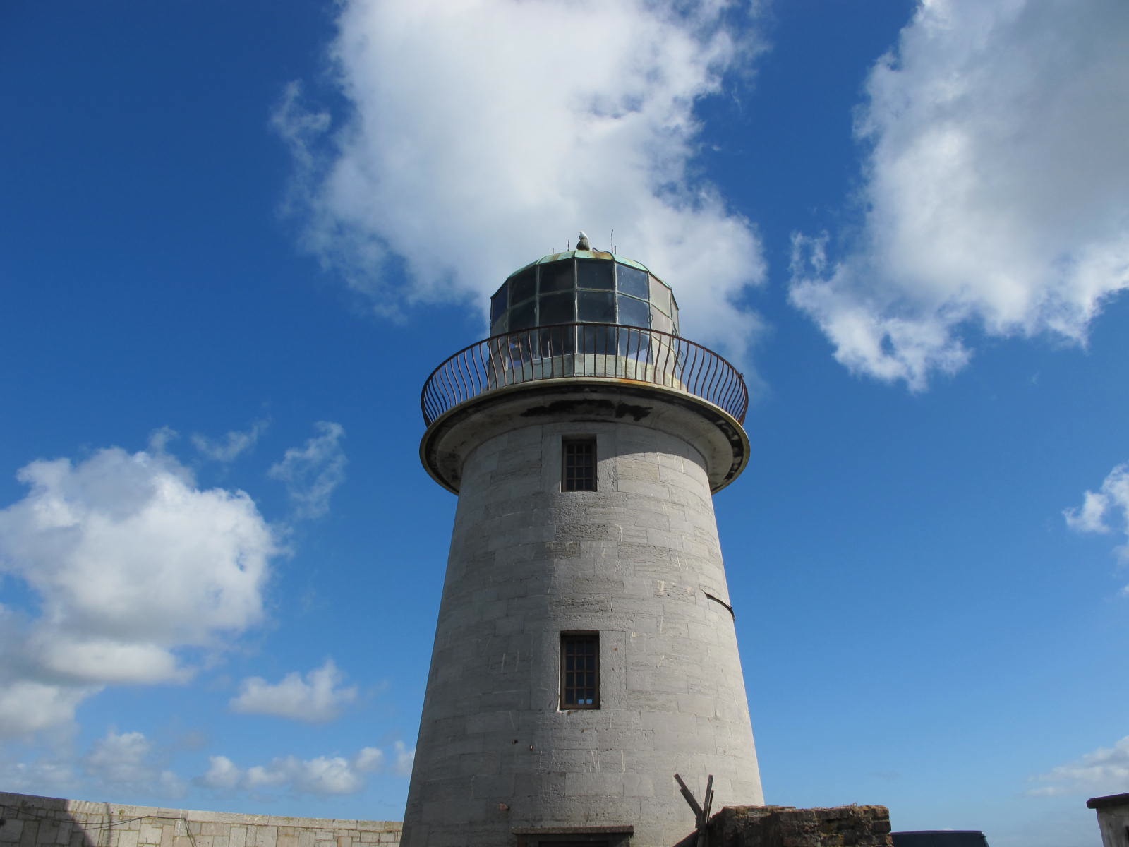
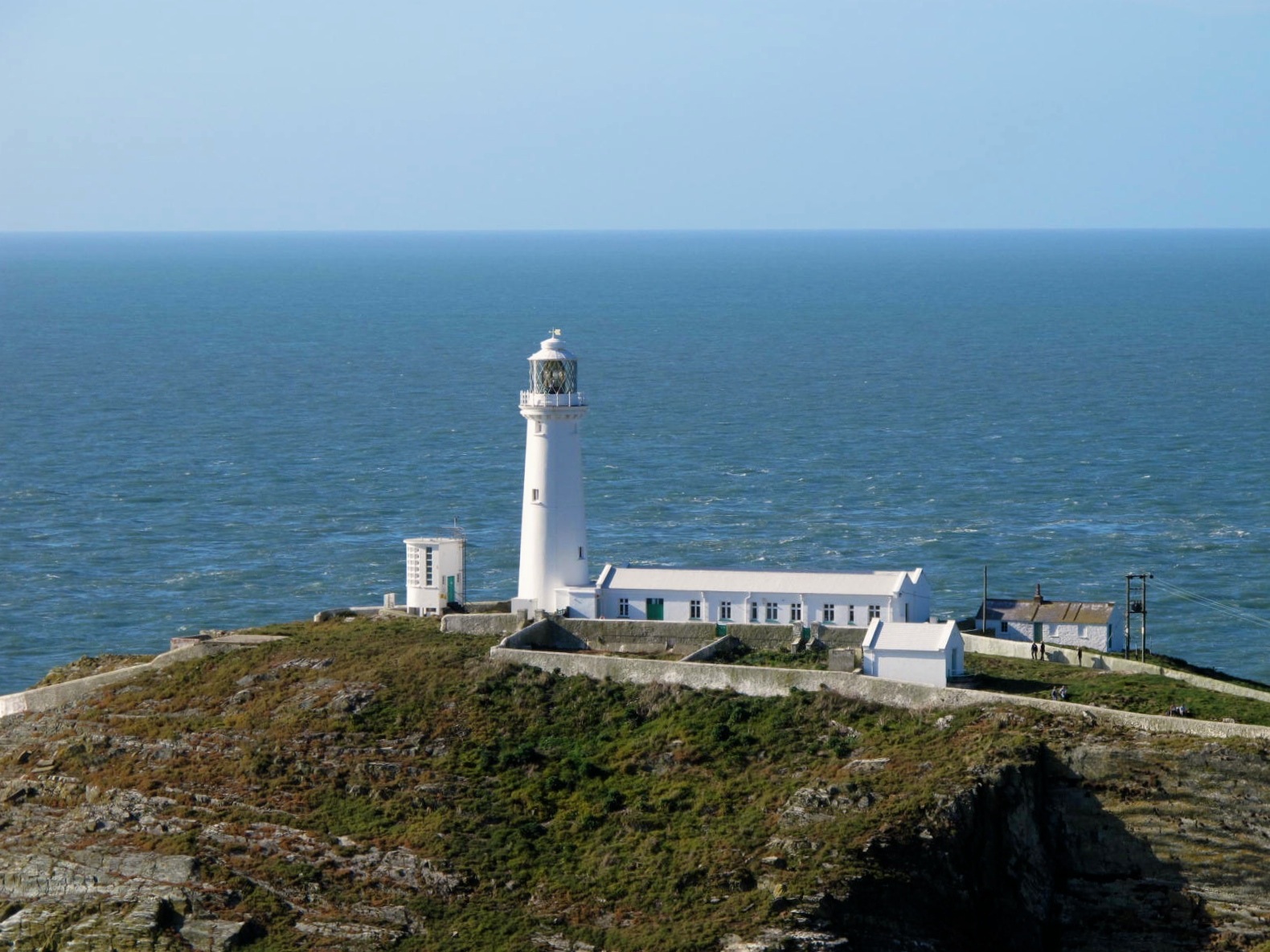
We joined the Association of Lighthouse Keepers on Anglesey for their 26th Annual General Meeting. On Friday, we visited two lighthouses in Holyhead Harbour, followed by South Stack Lighthouse, and some also managed to get to the foghorn station at North Stack. On Saturday, it was Trwyn Du and a cruise around Puffin Island, followed by the AGM, and then dinner, with guest speaker Richard Woodman (one of the Elder Brethren of Trinity House, and our newest patron). Sunday featured a visit to Point Lynas Lighthouse, and a few even got to Skerries.
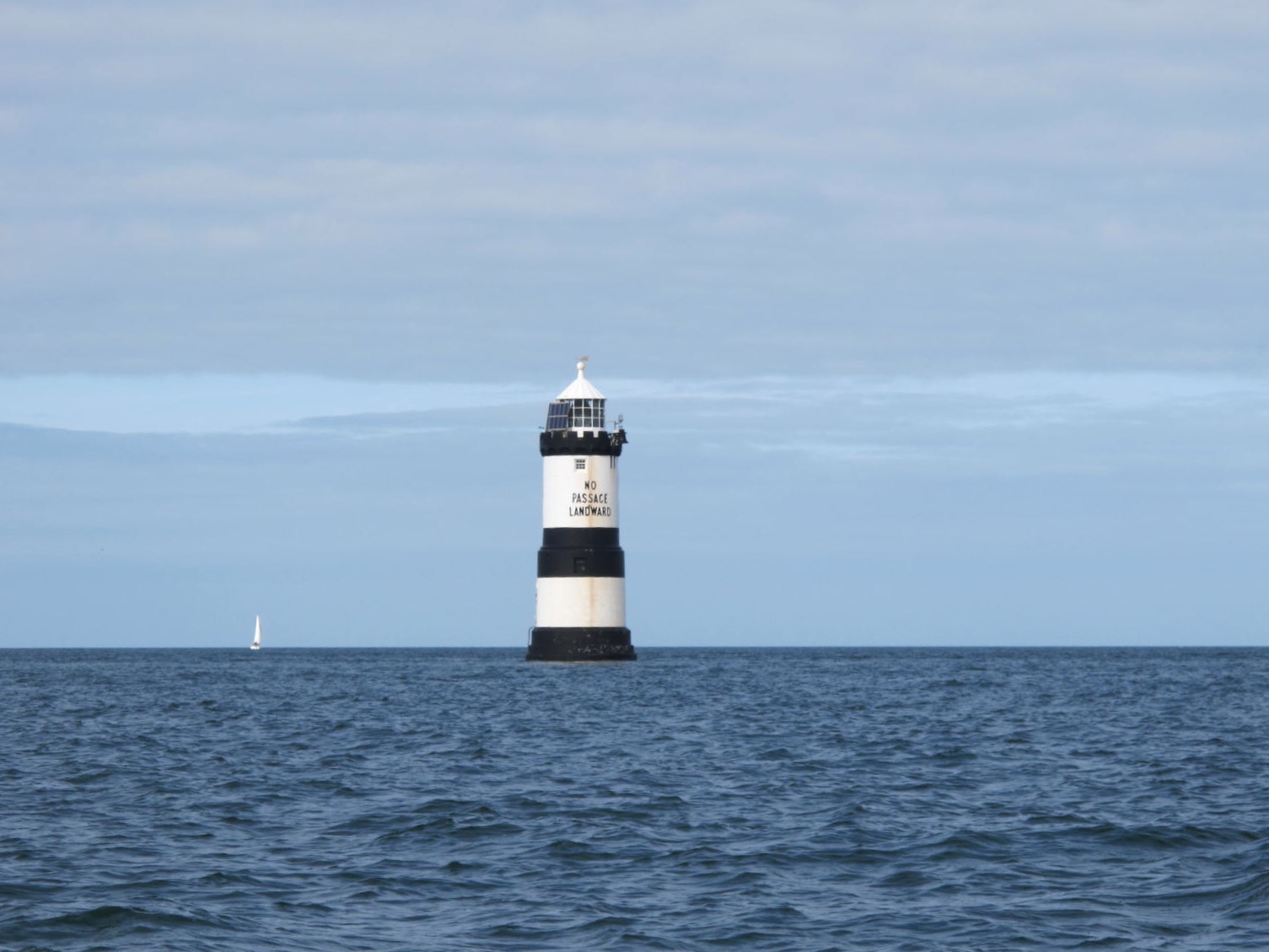
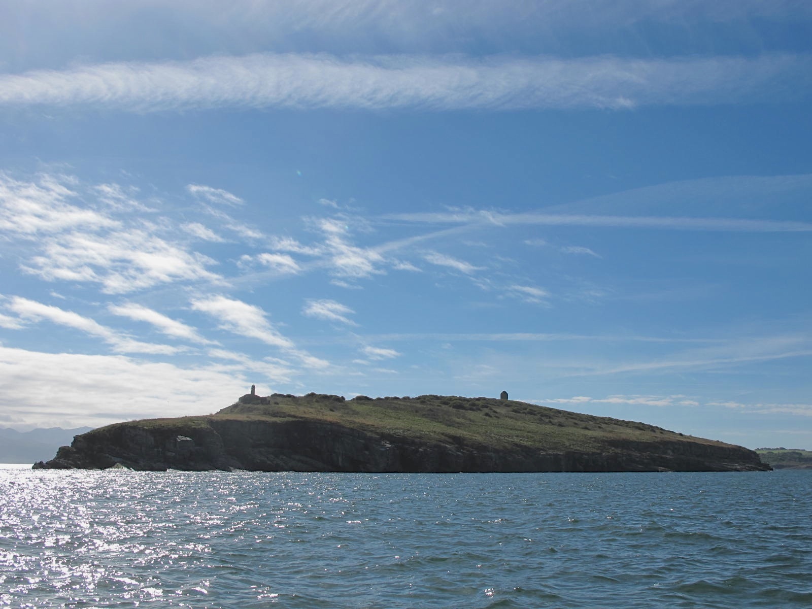
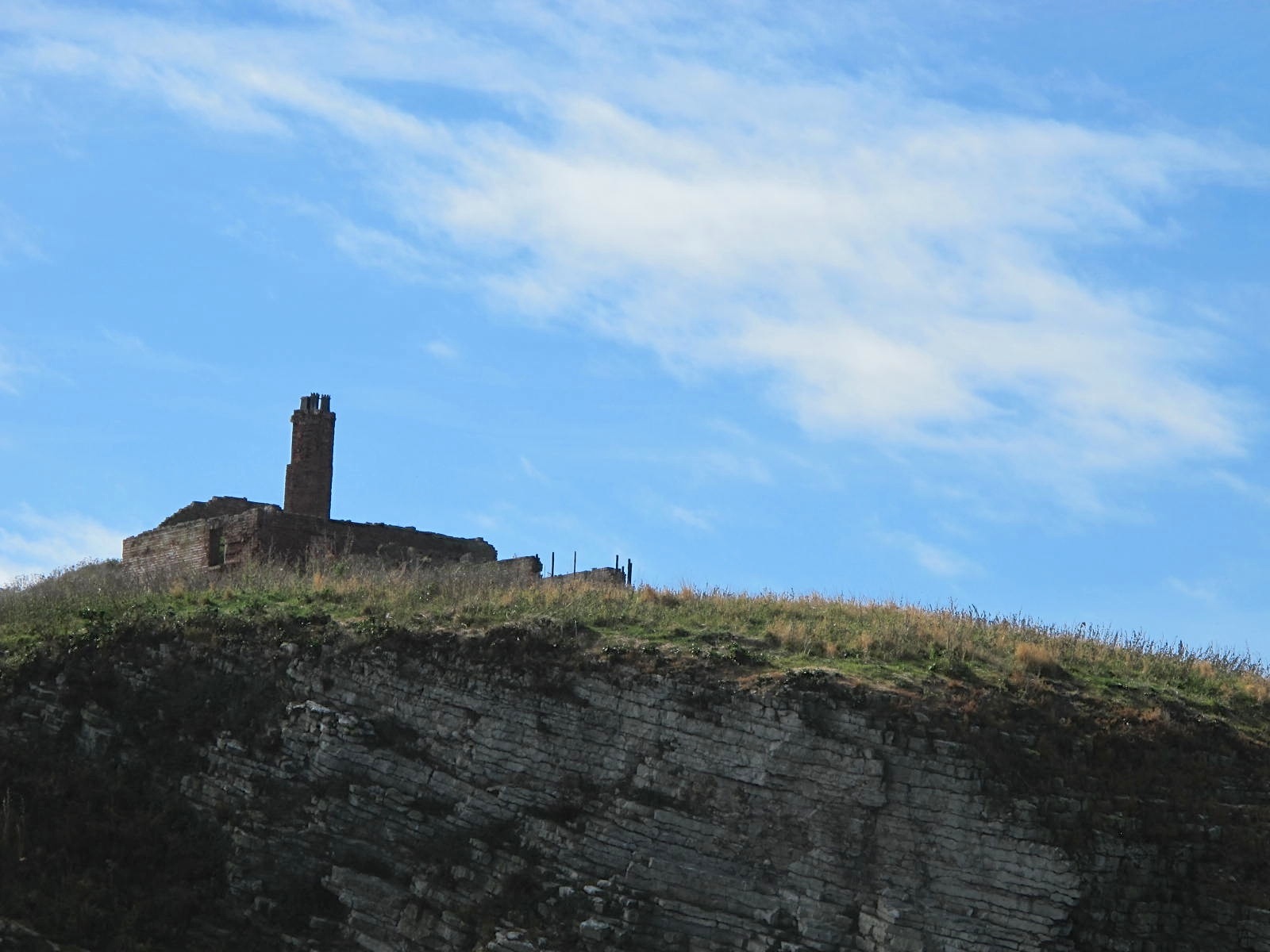
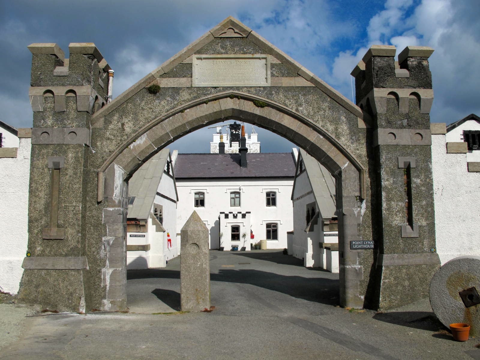
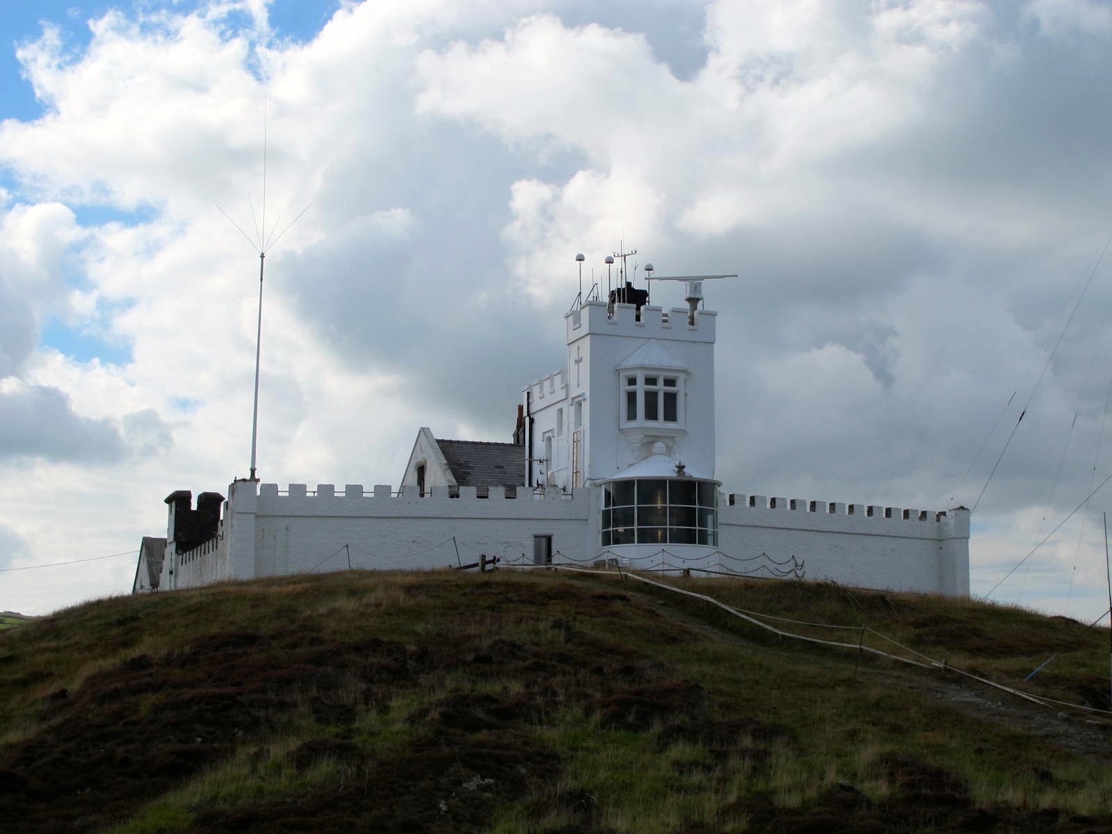
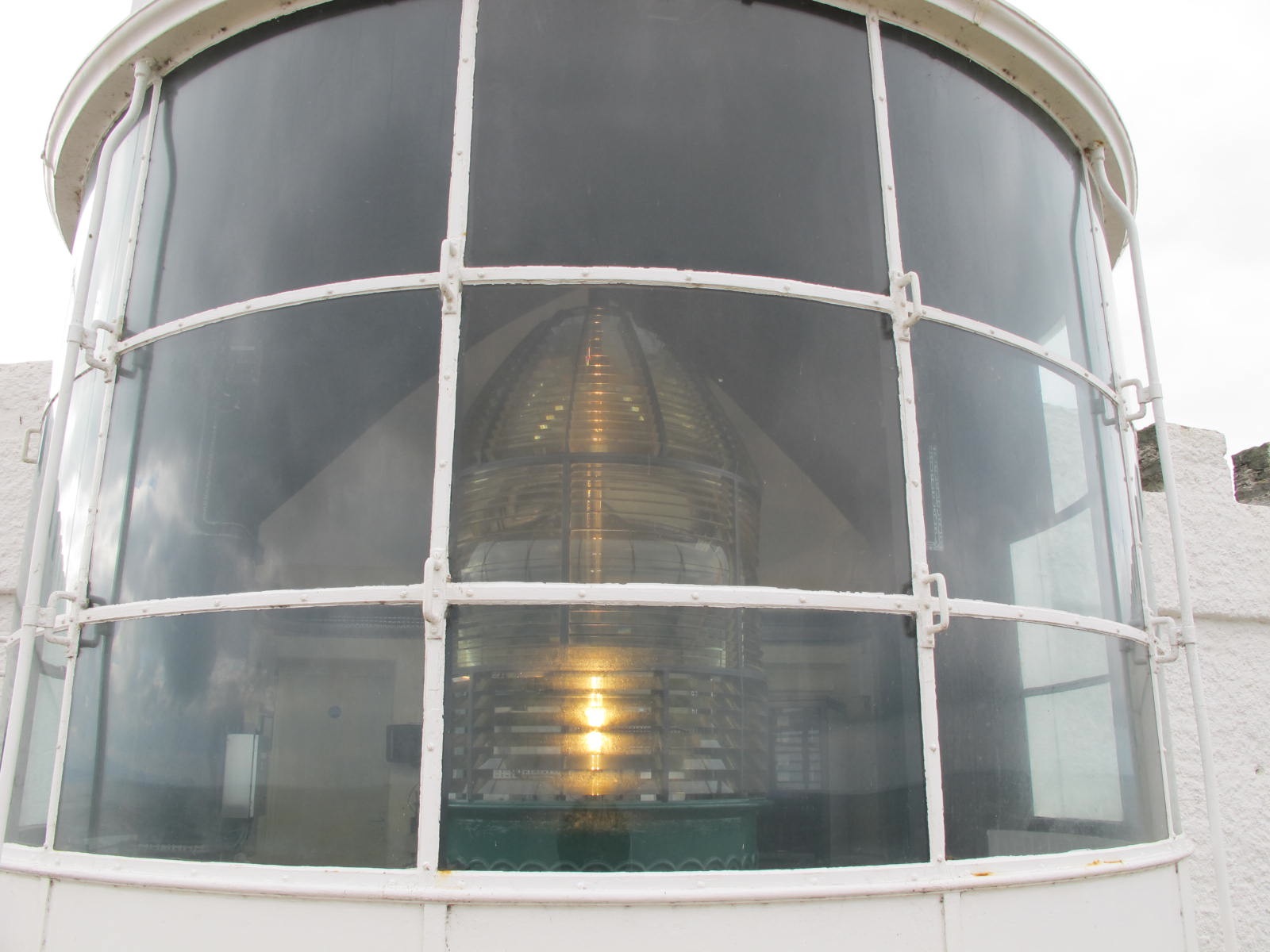
There will be a 1914 Village Fete at Leasowe Lighthouse on Sunday 7th September 2104 at 12 noon. All welcome.

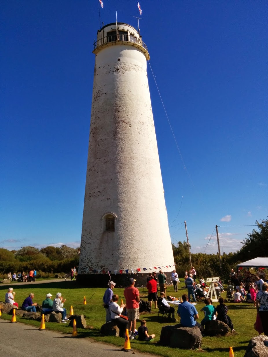
Leasowe Lighthouse Village Fete, 2014
Bidston Lighthouse is not for sale, contrary to reports in the Sun today (Wednesday 20 August, 2014).
The Sun ran a short article about publicly owned property up for sale and gave it pride of place on page 2 (adjacent to the midriff of the page 3 girl). Sun readers were informed that:
Also up for auction is an airfield, and the Bidston Observatory, Merseyside, which comes with a laboratory and lighthouse.
The Sun has managed to squeeze three factual errors into a single sentence.
The Grade-II listed Bidston Observatory is for sale, but not by auction. It has been on and off the market for ten years. Whoever buys it will be taking on a massive responsibility. A buyer who accepts the moral duty to preserve this important piece of Merseyside heritage and finds a way to open it to the public will be able to count on considerable community support, and ours. Conversely, a buyer otherwise inclined should expect opposition at every turn.
The laboratory would be the Joseph Proudman Building, which was demolished in February 2013. Neither the freehold nor the leasehold of the vacant site, which was originally the kitchen gardens for the lighthouse, is currently on the market.
The lighthouse is privately owned. We are not selling. But visitors are welcome on open days and other special occasions. We still have a few places left on tours we’re running for next month’s Wirral Heritage Open Days.
Ironically, Bidston Observatory is publicly owned but is not open to the public at all.
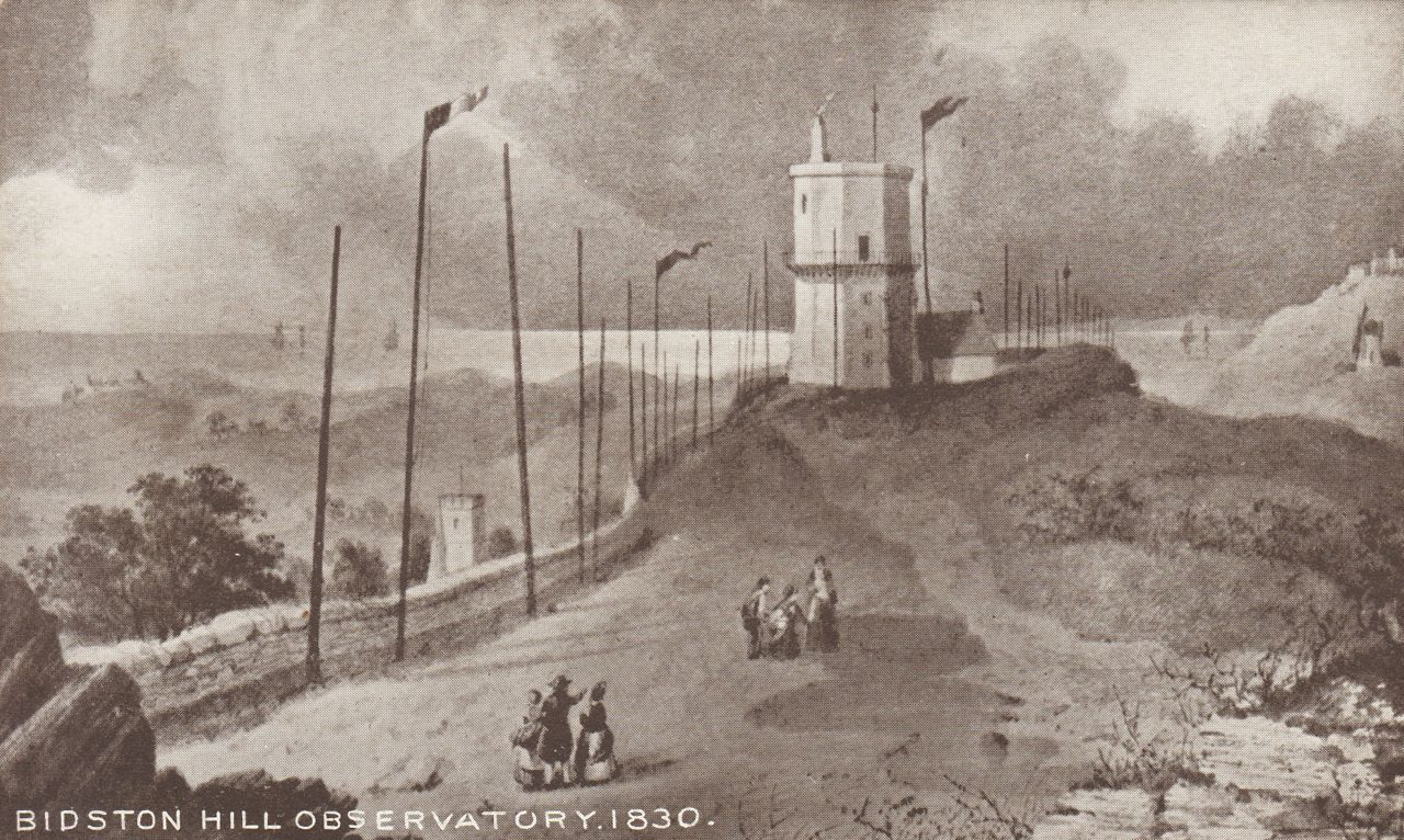
In defence of the Sun, they are not the first to confuse the Observatory and Lighthouse. This postcard, based on an 1830 engraving of the old Bidston Lighthouse and Signals Station has the caption “Bidston Hill Observatory 1830”. The Observatory was not built until 1866, when it replaced the original Liverpool Observatory which was forced to relocate due to the expansion of Waterloo Dock.
“The lamps are going out all over Europe. We shall not see them lit again in our lifetime”.
Sir Edward Grey, Foreign Secretary, uttered these words on the eve of Britain officially entering the First World War. Exactly 100 years later the British Legion is inviting millions of individuals, households and companies to join together in a national moment of reflection.
Please turn off your lights between 10pm and 11pm on 4 August 2014 – leaving only a single light or candle for this symbolic act of reflection and hope.
We’ll be taking part at Bidston Lighthouse. And we’ll be watching as the lights of Merseyside go out.
Seventy years ago today, the D-Day landings took place.
Let us not forget the role that Bidston Observatory played in the planning of the D-Day invasions. The Observatory’s tide predicting machines — mechanical computers developed since the 1920s by Arthur Doodson and his colleagues — were used to calculate tide tables for the beaches of Normandy and other locations in Northern France.
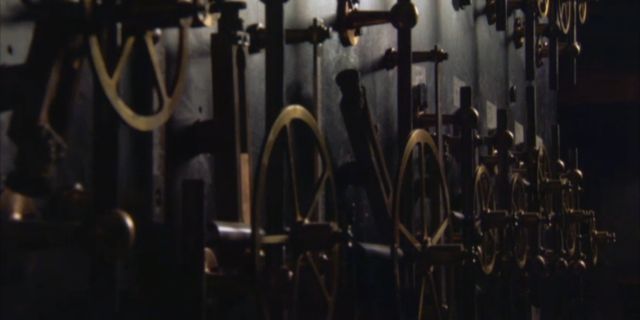
One of Arthur Doodson’s tide predicting machines.
Nor let us forget the staff of the Observatory who operated these machines.
The ladies in this post-war photograph of the Observatory Staff by the One O’Clock gun are, proceeding clockwise from Valerie Doodson at the front left:
Valerie Doodson née Boyes, Jean Harman née MacFarlane, Dorothy Ainsworth, Eunice Murrell née Heath, Barbara Trueman-Jones, Margaret Lennon née Weston, Margaret Ireland née Wylie, Sylvia Asquith née Brooks, and Olwyn Branscombe.

Observatory staff by the one-o-clock gun. Eunice Murrell is the lady at the back.
Eunice Murrell sadly passed away at her home last Saturday, 31 May 2014.
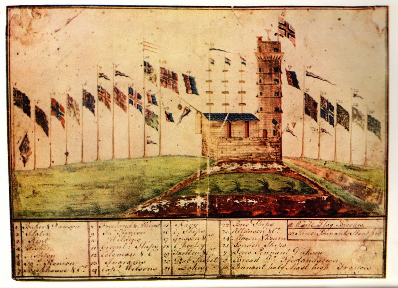
Bidston Signals – early illustration
This delightful illustration of the Bidston Signals was reproduced in “Romance of the Modern Liner”, by Captain E.G. Diggle, 1930. My thanks to Geoff Topp for bringing it to my attention.
Can anyone help with more information about the provenance of the original? Who painted it and when? If so, please comment on this post.
Mary Connell passed away suddenly this morning.
For seventy-seven years, Mary has been a constant presence on the hill that she loved. She moved into the Lighthouse Cottages in 1937 with her parents Mick and Mary Connell and younger sister Patricia. She worked as a funeral director for many years, and walked her dogs on Bidston Hill twice a day. She fought Wirral Borough Council and the Natural Environment Research Council for the right to stay in the Lighthouse Cottages, and against all the odds, she won. She was in her seventies when ill health forced her to retire.
Mary was a strong and feisty woman with a sharp wit and a heart of gold. Bidston Hill will not be the same without her.
Mary is survived by her sister Patricia, her nieces Collette, Paula, Claire and Jane, and her Yorkshire terrier Lacey.

Mary Connell, 1934-2014